Autoencoders for Seismic Waveforms: Compress, Learn, and Generate
Autoencoders learn compact representations by reconstructing seismic data. This tutorial explains their use...

Magnitude 2.5+ over the past 24 hours.
Loading recent earthquakes…
Autoencoders learn compact representations by reconstructing seismic data. This tutorial explains their use...

An agentic harness gives an AI model tools, context, memory, permissions, and feedback. See how the pieces ...
Recent technical articles on seismic analytics, scientific computing, numerical modeling, and production data workflows.
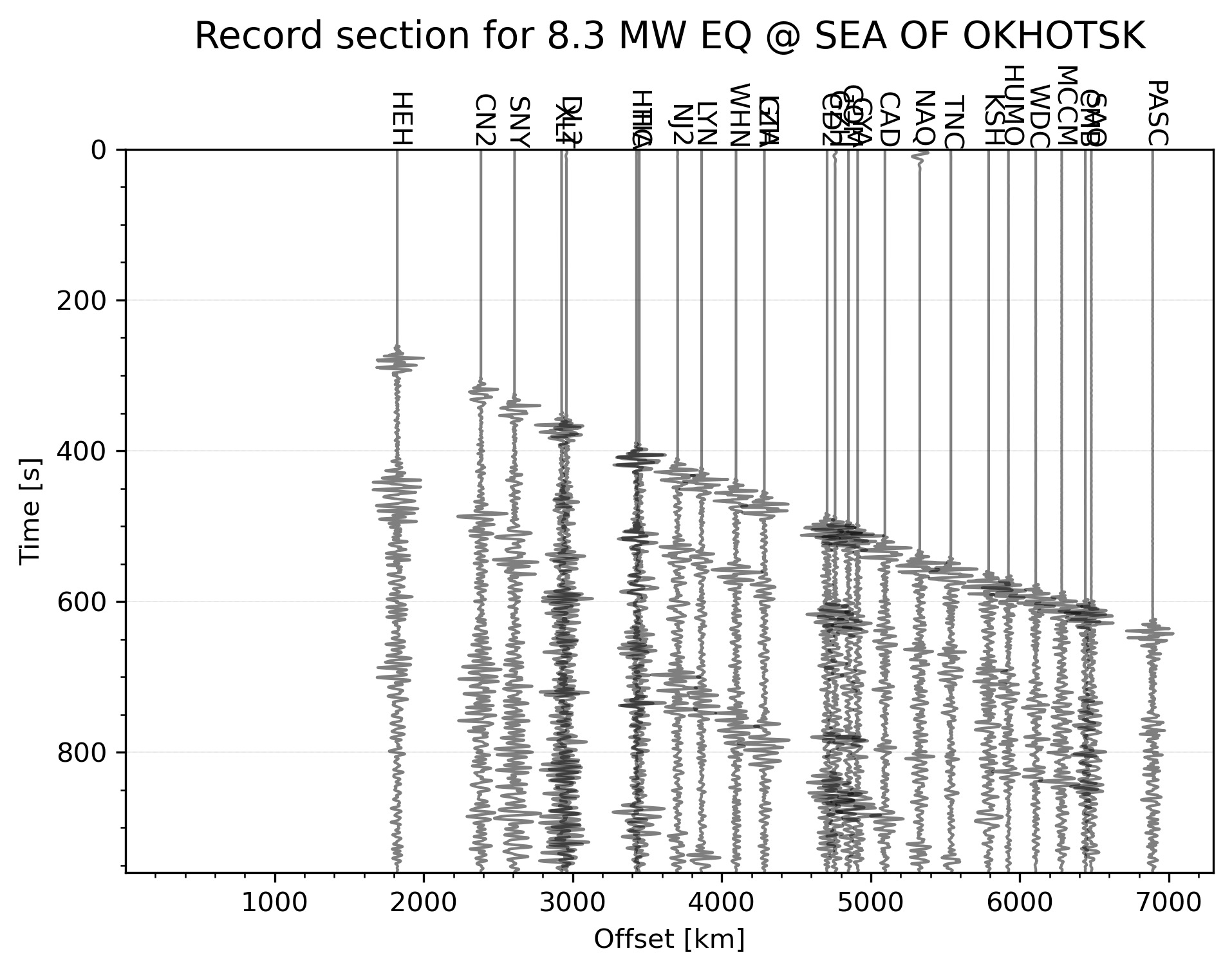
Python code to automatically plot the record section for the highest magnitude earthquake in the given time range
Quick action for mac to easily love, dislike, rate songs in apple music app
Introduction to the concepts of tomography with equations and codes. Introduction to the concepts of overdetermined, underdetermined and mix-determined probl...
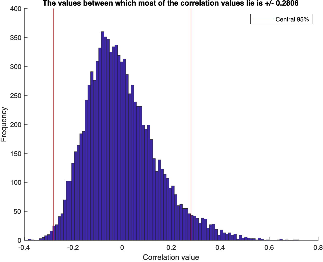
We test for the correlation coefficients or the covariance between two sets of random numbers selected from normal distribution using the Monte Carlo simulat...
Visualize the statistics of the data using MATLAB: mean, median, std, interquartile range, skewness, kurtosis, t-statistic, degrees of freedom
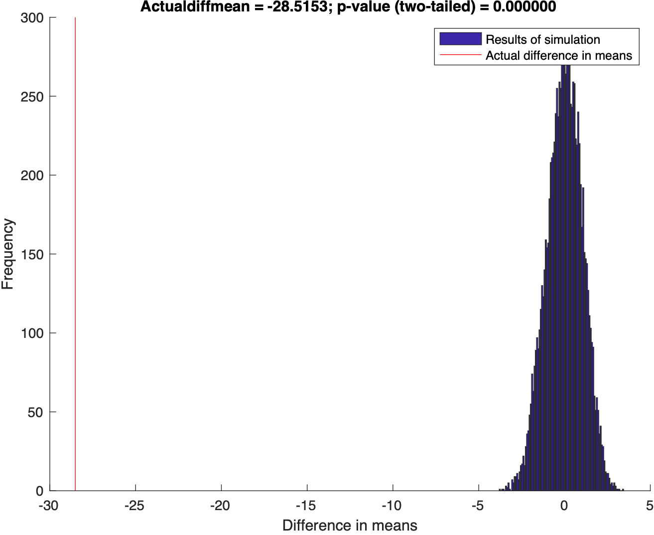
Using Randomization to test the disprove the null hypothesis
This post demonstrate how to use Python to set up clip topographic map based on coastlines.
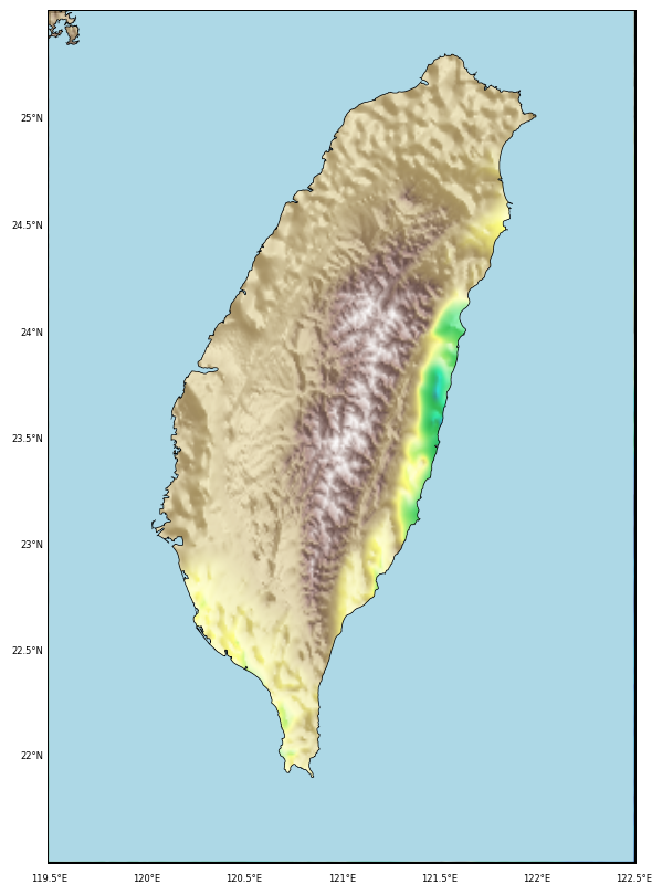
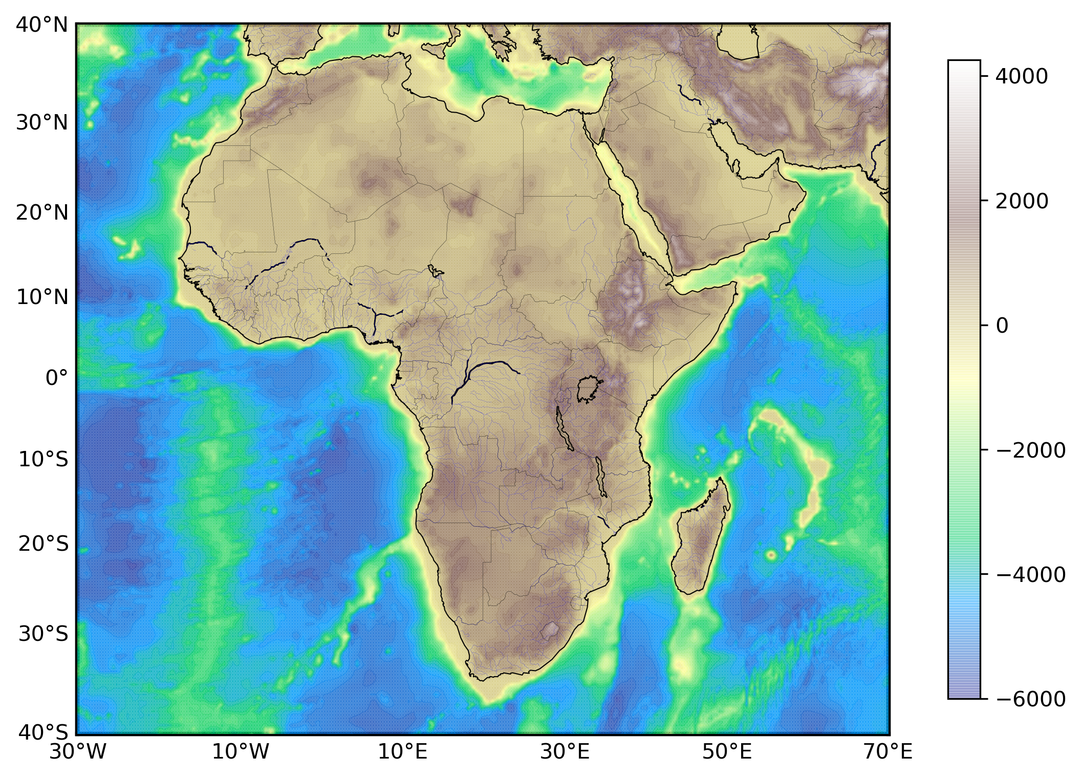
Generating GMT style shaded relief map in Python
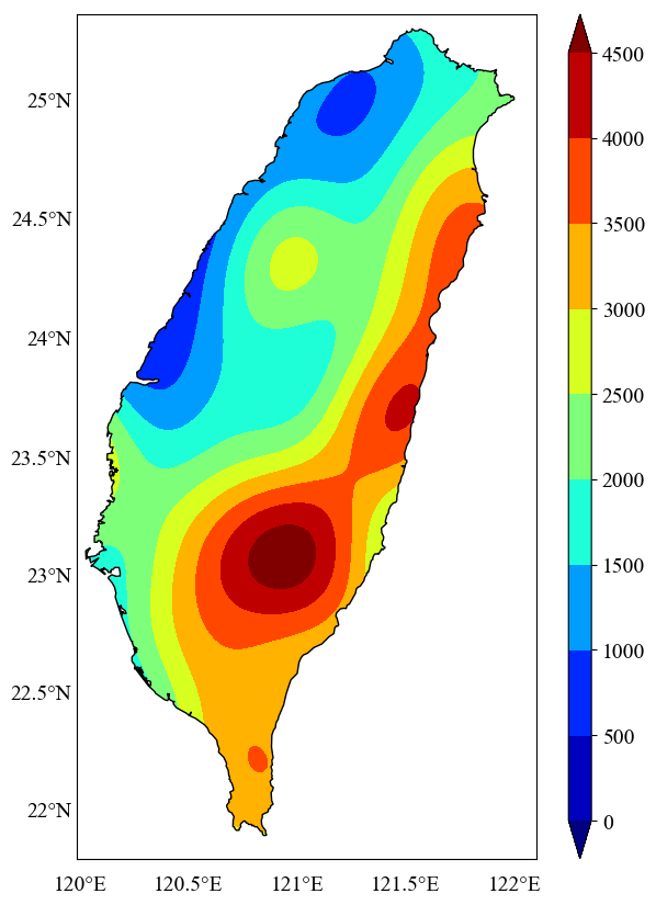
In geosciences, we most frequently have to make geospatial plots, but the available data is unevenly distributed and irregular. We like to show the data, in ...
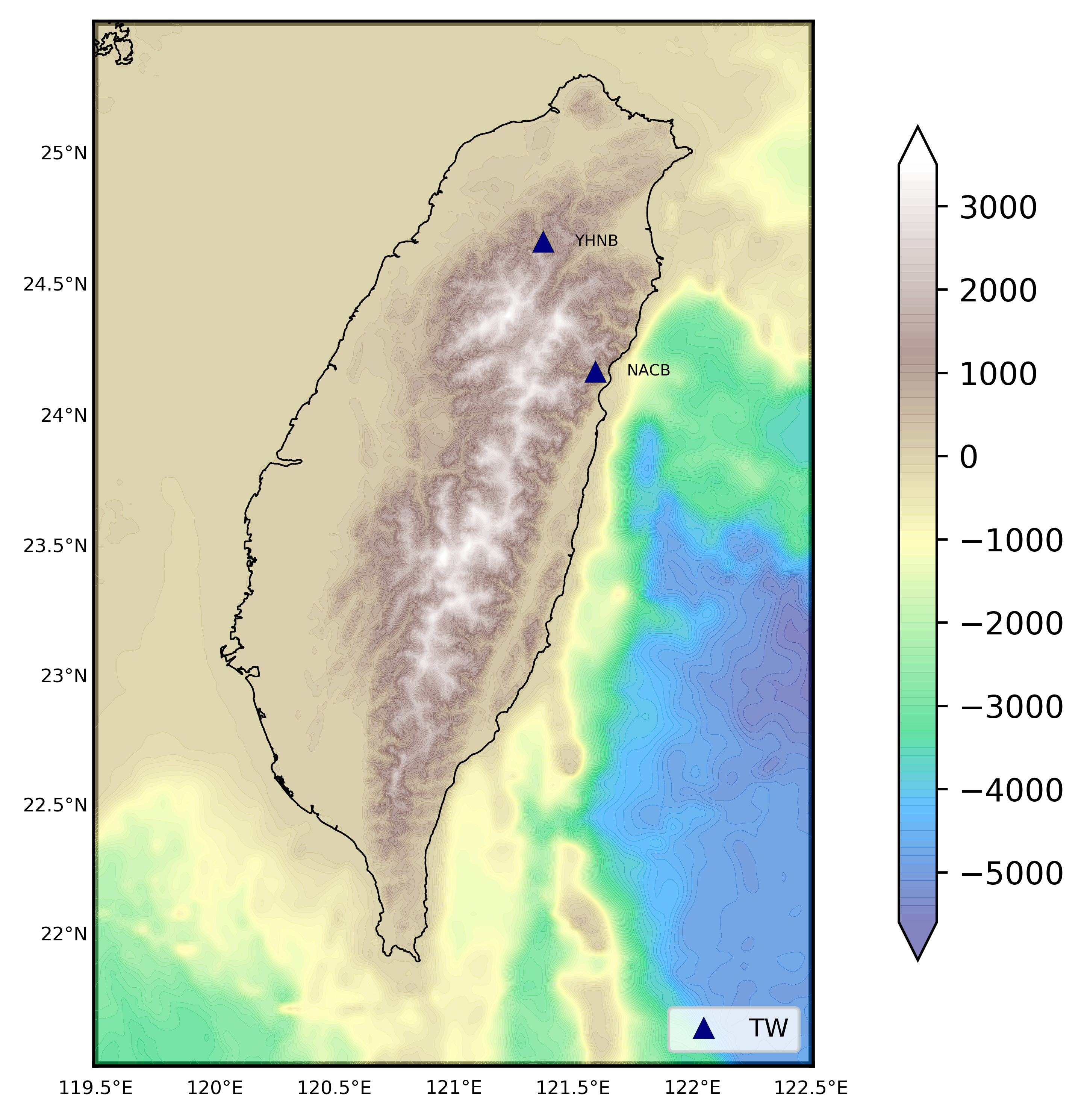
We read the station information from a file to plot the 1 arc-minute relief map
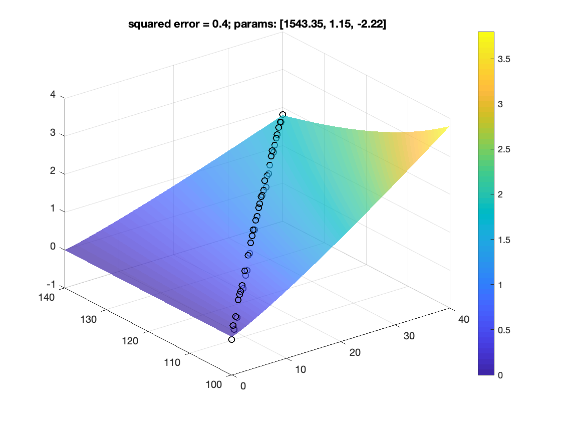
How to fit data to non-linear model
Plotting 1 arc-minute topographic map in python
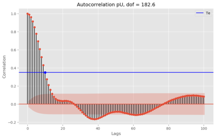
Two time series with predominant linear trends (very low DOF) can have a very high correlation coefficient, which can hardly be construed as an evidence for ...
Plotting publishable quality maps using generic mapping tools (GMT)
Python code to automatically plot the record section for the highest magnitude earthquake in the given time range
Quick action for mac to easily love, dislike, rate songs in apple music app
Introduction to the concepts of tomography with equations and codes. Introduction to the concepts of overdetermined, underdetermined and mix-determined probl...
We test for the correlation coefficients or the covariance between two sets of random numbers selected from normal distribution using the Monte Carlo simulat...
Visualize the statistics of the data using MATLAB: mean, median, std, interquartile range, skewness, kurtosis, t-statistic, degrees of freedom
Using Randomization to test the disprove the null hypothesis
This post demonstrate how to use Python to set up clip topographic map based on coastlines.
Generating GMT style shaded relief map in Python
In geosciences, we most frequently have to make geospatial plots, but the available data is unevenly distributed and irregular. We like to show the data, in ...
We read the station information from a file to plot the 1 arc-minute relief map
How to fit data to non-linear model
Plotting 1 arc-minute topographic map in python
Two time series with predominant linear trends (very low DOF) can have a very high correlation coefficient, which can hardly be construed as an evidence for ...
Plotting publishable quality maps using generic mapping tools (GMT)
![Mac quick action to rate the songs in apple music app [macos]](https://earthinversion.s3.us-west-1.amazonaws.com/mac-quick-action/figure0.jpeg)
![Numerical tests on travel time tomography [matlab]](https://earthinversion.s3.us-west-1.amazonaws.com/tomographyModel1.jpg)