Automatic P/S Phase Picking with Deep Learning Using SeisBench
Load a waveform with ObsPy, run a pre-trained PhaseNet (or EQTransformer) model from SeisBench, and plot th...

Magnitude 2.5+ over the past 24 hours.
Loading recent earthquakes…
Load a waveform with ObsPy, run a pre-trained PhaseNet (or EQTransformer) model from SeisBench, and plot th...

A compact macOS setup with two Alfred workflows for turning caffeinate on and off, plus SwiftBar for keepin...
Recent technical articles on seismic analytics, scientific computing, numerical modeling, and production data workflows.
Discover how Genetic Algorithms can be applied to solve the earthquake location problem in seismology. This post walks through generating synthetic seismic d...
Learn how to seamlessly sync your Zotero files across devices using WebDAV with Koofr and Google Drive. This step-by-step guide ensures your research materia...
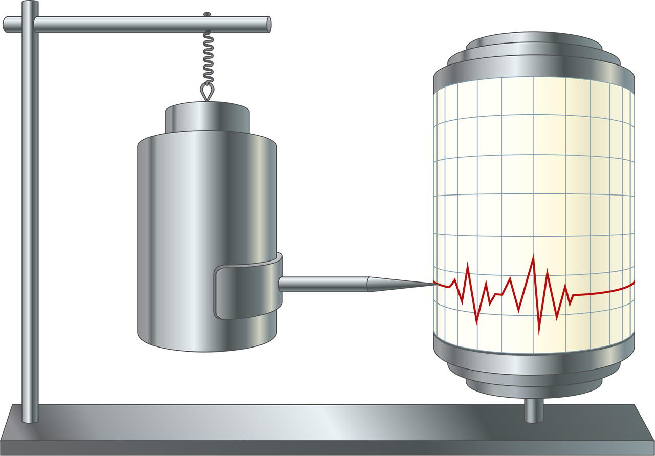
While MEMS accelerometers offer advantages in cost, size, and deployment flexibility compared to traditional broadband seismometers, they face limitations in...
While MEMS accelerometers offer advantages in cost, size, and deployment flexibility compared to traditional broadband seismometers, they face limitations in...
Scientists have found compelling evidence for low-frequency gravitational waves permeating the entire universe, opening a new window into cosmic phenomena. T...
The advent of low-cost Microelectromechanical Systems (MEMS) sensors has revolutionized Structural Health Monitoring (SHM) of buildings, enabling cost-effect...
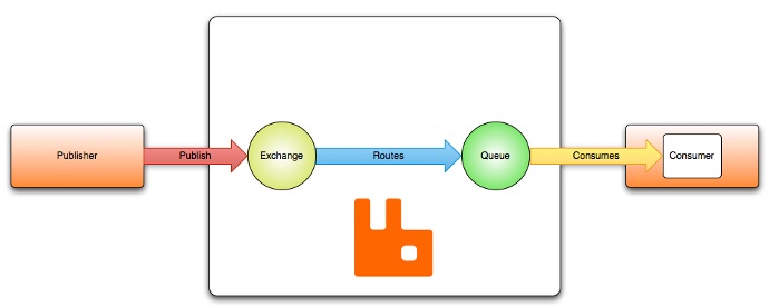
Learn how to use RabbitMQ with Python to publish and consume seismic waveform messages reliably in real time for distributed seismology workflows.
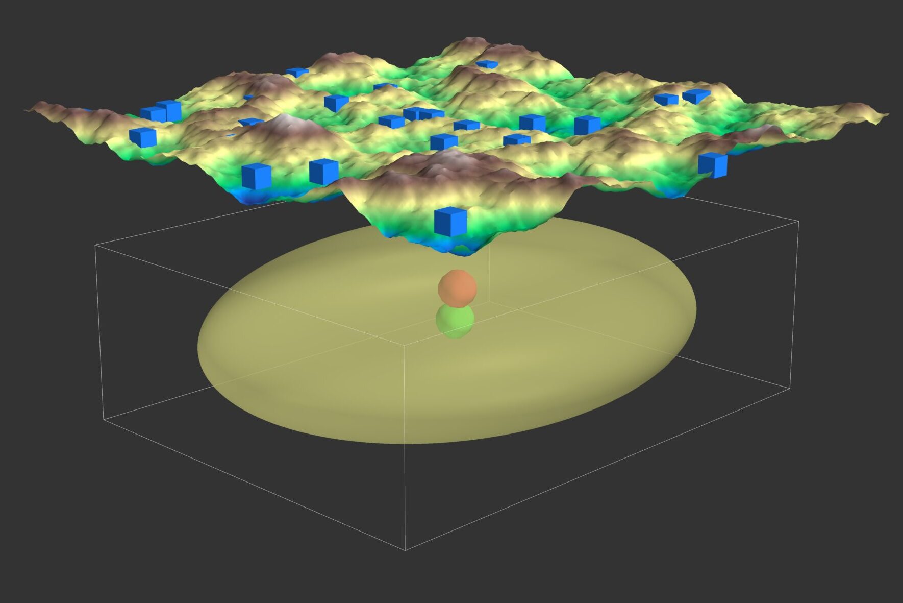
The Metropolis-Hastings algorithm is a cornerstone of Markov Chain Monte Carlo (MCMC) methods, enabling us to generate samples from complex probability distr...
Explore the power of mpi4py for simplifying data distribution in parallel computing with its efficient broadcast functionality, which seamlessly sends data f...
Navigating the complexities of relocating your Anaconda or Miniconda installation on a Linux system can be daunting. This concise guide provides a step-by-st...
Explore the Multi-Taper Method’s unique ability to refine spectral estimates in seismology. Leveraging multiple orthogonal tapers, this approach minimizes va...
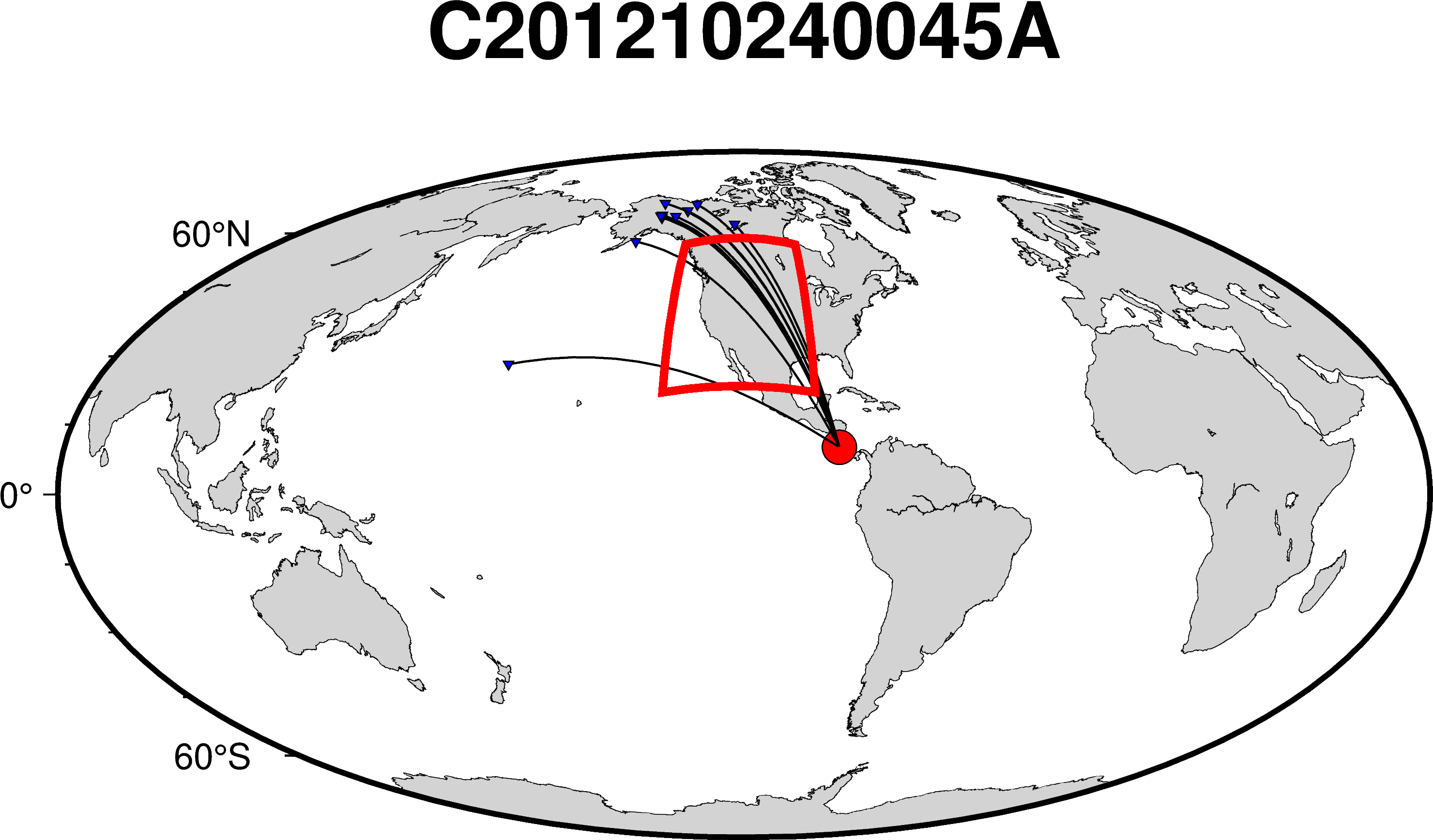
In this article, we will learn how to visualize the great circle paths that traverse a designated region of interest using PyGMT. Understanding these paths i...
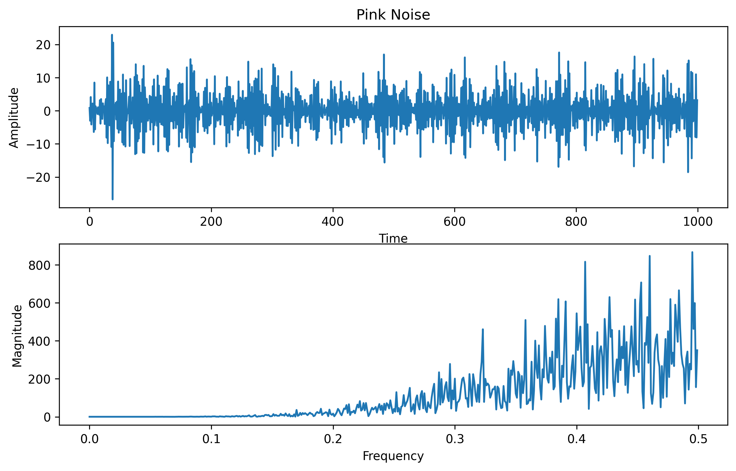
Pink noise, also known as 1/f noise or flicker noise, is a type of random signal that has equal energy per octave. It is called pink because it is analogous ...
Python script to read a PDF document, and perform question-answering on the document, and to generate an output based on the provided query
Discover how Genetic Algorithms can be applied to solve the earthquake location problem in seismology. This post walks through generating synthetic seismic d...
Learn how to seamlessly sync your Zotero files across devices using WebDAV with Koofr and Google Drive. This step-by-step guide ensures your research materia...
While MEMS accelerometers offer advantages in cost, size, and deployment flexibility compared to traditional broadband seismometers, they face limitations in...
While MEMS accelerometers offer advantages in cost, size, and deployment flexibility compared to traditional broadband seismometers, they face limitations in...
Scientists have found compelling evidence for low-frequency gravitational waves permeating the entire universe, opening a new window into cosmic phenomena. T...
The advent of low-cost Microelectromechanical Systems (MEMS) sensors has revolutionized Structural Health Monitoring (SHM) of buildings, enabling cost-effect...
Learn how to use RabbitMQ with Python to publish and consume seismic waveform messages reliably in real time for distributed seismology workflows.
The Metropolis-Hastings algorithm is a cornerstone of Markov Chain Monte Carlo (MCMC) methods, enabling us to generate samples from complex probability distr...
Explore the power of mpi4py for simplifying data distribution in parallel computing with its efficient broadcast functionality, which seamlessly sends data f...
Navigating the complexities of relocating your Anaconda or Miniconda installation on a Linux system can be daunting. This concise guide provides a step-by-st...
Explore the Multi-Taper Method’s unique ability to refine spectral estimates in seismology. Leveraging multiple orthogonal tapers, this approach minimizes va...
In this article, we will learn how to visualize the great circle paths that traverse a designated region of interest using PyGMT. Understanding these paths i...
Pink noise, also known as 1/f noise or flicker noise, is a type of random signal that has equal energy per octave. It is called pink because it is analogous ...
Python script to read a PDF document, and perform question-answering on the document, and to generate an output based on the provided query